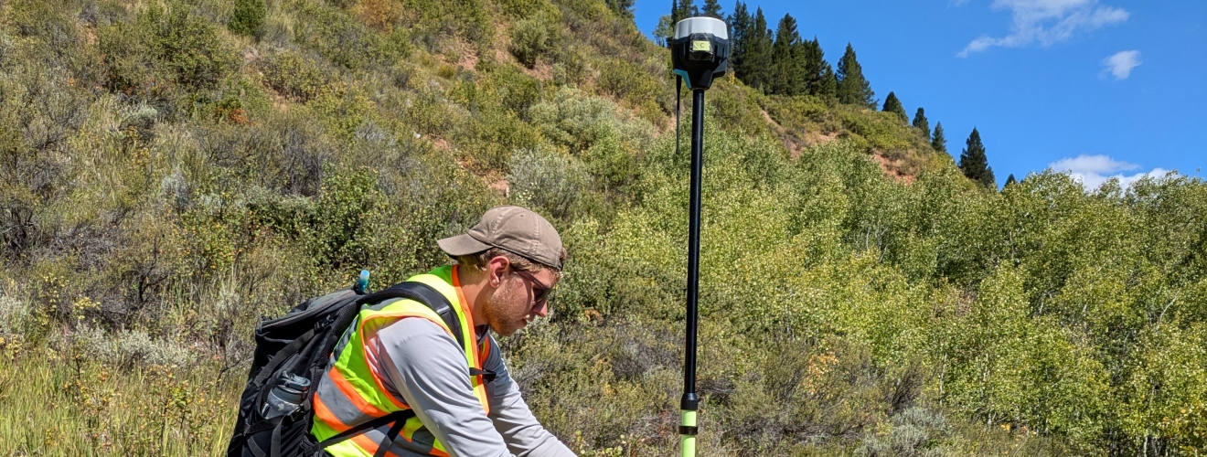
ISU Geospatial Science academic programs engage students in a vibrant and growing field of study. We take students outside the classroom to engage with field-based learning using cutting-edge technology. Our program focuses on GIS, remote sensing, GPS/GNSS, uncrewed aerial systems, and spatial modeling/visualization. Our work spans multiple disciplines (e.g. geosciences, biology, anthropology, history).
ISU’s comprehensive Geospatial Science Programs address the significant demand for trained experts in geospatial science and technology.
The MS GIS program is part of the Western Regional Graduate Program, which allows reduced out-of-state tuition across specific partner states.
About GIS and Geospatial Sciences
Digital Mapping Laboratory (DML)
Carrie Bottenberg - Director of Geotechnologies
-
M.S. in Geographic Information Science
-
Post-Baccalaureate Geotechnology Certificate
-
Undergraduate Minor in Geotechnology

