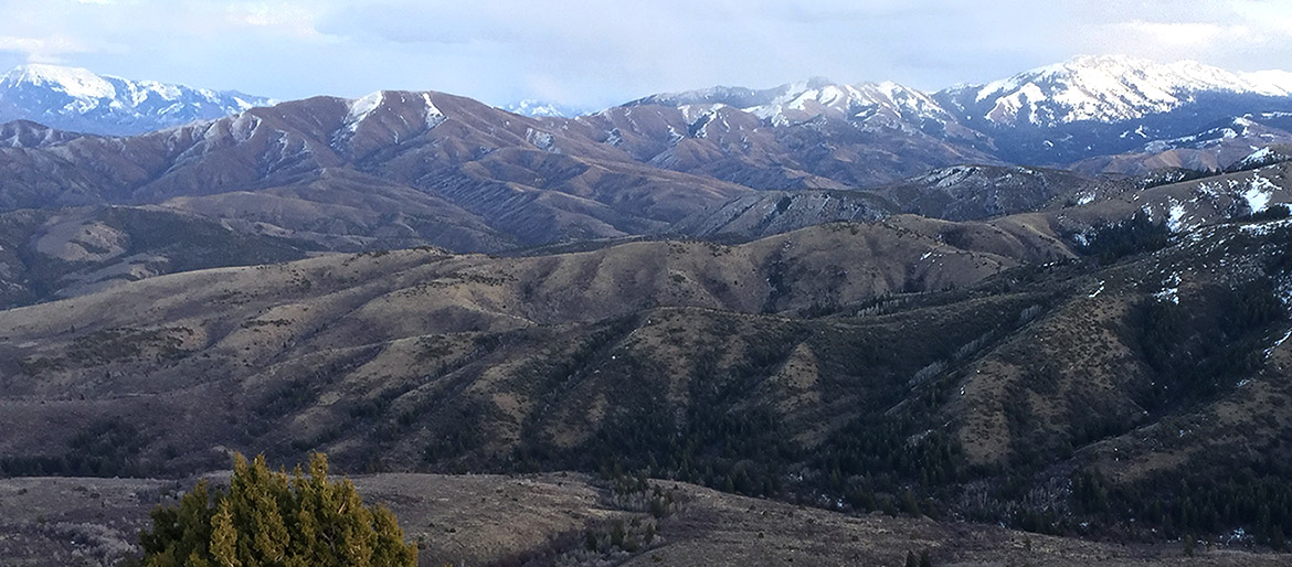
Gibson Jack Creek Research Area

Gibson Jack Creek is located ~10 km south of the Idaho State University campus and is administrated partially as a US Forest Service Research Natural Area (since 1982) within the Caribou National Forest. It drains ~25.5 square kilometers of the Bannock Range, ranging in elevation from 1500 m to 2200 m.
A federally maintained snow and weather monitoring site (SNOTEL) has operated just south of the basin at Wildhorse Divide since 1980. Over that period, the station has recorded an annual average of 76 cm of precipitation with roughly half of that falling as snow between November and April. Mean daily temperatures range between 19 and -6 degrees Celsius (65-22°F).
Bedrock geology in the region is dominated by Cambrian and Proterozoic sediments and metasediments including quartzites, limestones, conglomerates, shales, siltstones, and sandstones (Rodgers and Othberg, 1999). A series of large, inactive normal faults are inferred or observed along most the valley floors.
The basin is vegetated, though the individual communities are separated according to aspect and elevation. Forests of Douglas-fir, subalpine fir, bigtooth maple & aspen are found on north-facing slopes; shrublands occur on south-facing slopes dominated by big sagebrush, black sagebrush, Utah juniper & bluebunch wheatgrass (Evenden et al., 2001).
Gibson Jack streamflow was utilized by the City of Pocatello for culinary water between and 1892 and 1993. Once the city switched to aquifer pumping for their main culinary supply, Gibson Jack Creek continued to be used by the city for irrigation and fire suppression. A fenced concrete intake for this supply is located at the current parking lot. Continuous streamflow (and other water quality parameter) monitoring was initiated by the ISU Baxter Stream Ecology Lab in the summer of 2011 and continued for one year. State and federal agencies have made spot measurements of discharge at other times.
Lower portions of the watershed were affected wildfire in 2012. LiDAR data for the whole watershed was collected in 2015.
Gibson Jack Watershed, Photo, USGS 7.5, 10m DEM, 1m LiDAR (9.5 mb)

